I want Europe to strive for more by grasping the opportunities from the digital age within safe and ethical boundaries
The EU Space ecosystem: Galileo and Copernicus
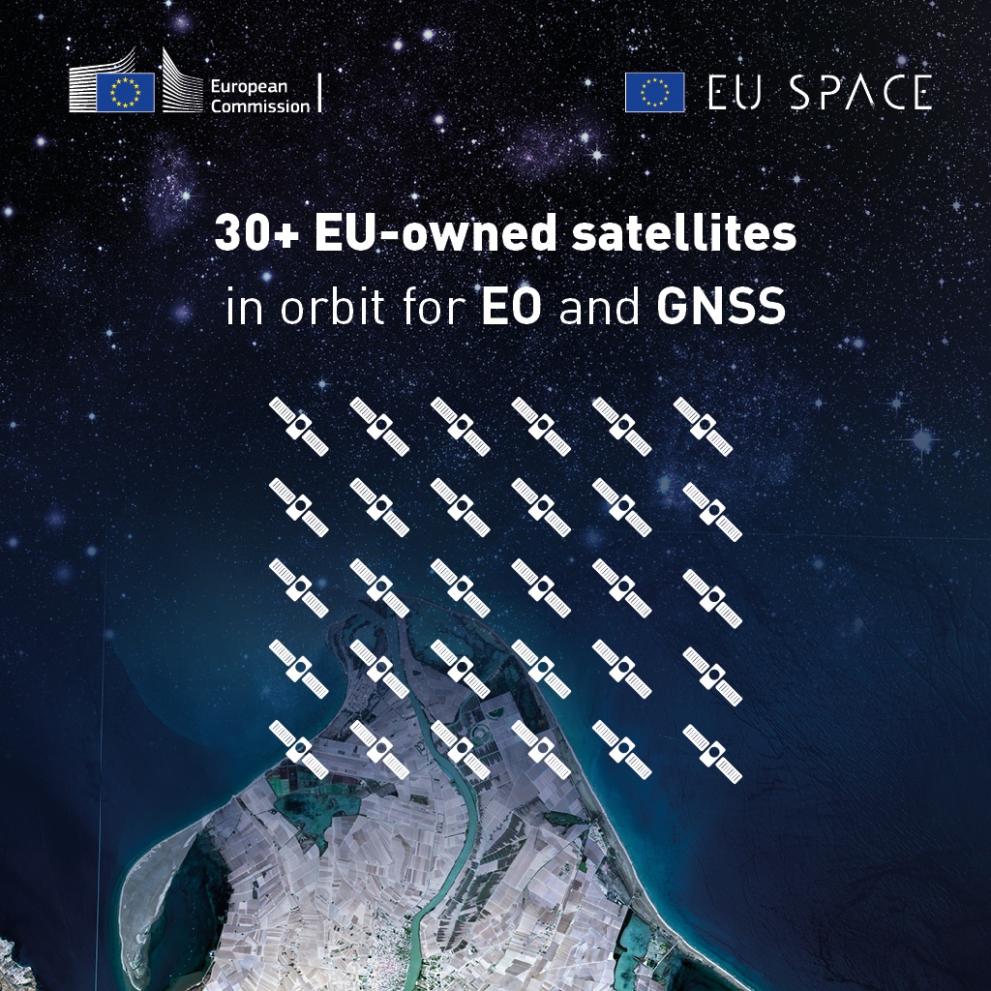
First some numbers: More than 30 satellites are in orbit for the EU Space Programme. More than 16 TB of data per data gathered by Copernicus are used to train Artificial Intelligence algorithms and enable big data analytics in many areas of application. The data is used by 60% of the European EO (Earth Observation) companies. Galileo’s positioning system has an accuracy of up to 20cm.
Galileo signals: more accuracy, more security for critical infrastructure
Today’s modern, highly connected society is largely based on the perfect synchronisation of its various components. Thanks to Galileo's unparalleled signal accuracy, large infrastructure such as energy distribution grids, now have optimal synchronisation references.
Moreover, the coded identification of the signals eliminates attempted attacks such as spoofing or meowing, allowing the receiver to ensure that the signals received are from a genuine source.
Galileo's signals can also be used in everyday applications, such as smartphones or route calculations.
In agriculture, they enable greater accuracy and therefore savings in terms of, for example, soil treatment.
The European navigation systems Galileo and EGNOS are state-of-the-art.
Their services are available free of charge and are waiting for your ideas to demonstrate their performance even better.
Copernicus as a provider of Big Data
Copernicus is the most ambitious and successful Earth Observation Programme in the world and the third largest space data provider globally. With a full, free and open data policy, it is a global game-changer in Earth Observation.
Copernicus contributes to the Big Data Analytics market through the large volumes it generates every day, the variety of data produced and its continuity in time. By 2020-2021, Copernicus is foreseen to contribute 40-60% of the overall European Big Data Analytics relying on imagery.
With its standardised and free of charge data, Copernicus enables new entrants to develop and test algorithms, lowering the barrier to entry for start-ups and SMEs, notably in the area of Artificial Intelligence.
Copernicus data is used to provide services in six areas: land monitoring, marine environment monitoring, atmosphere monitoring, climate change, emergency management and security.
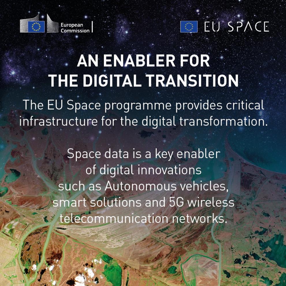
EU Space as an enabler of digital innovation
The EU Space Programme can fuel the Digital Transformation in very different areas of application. Its two flagship components Galileo and Copernicus are two indispensable contributors for the Digital Age. Both programmes provides vast number of examples for digital innovation. Here are three:
1. Emergency response: helping those who help you. Faster. Closer. More effective.
With Galileo's ultra-precise positioning and the eCall and E112 systems, the cellular network becomes your best ally in times of trouble.
A car accident, and you are unable to call for help? eCall (*) will trigger an autonomous call to the emergency services, and thanks to the positioning calculated by its Galileo receiver, provide them with your position.
An emergency situation that you witness or are the victim of?
Thanks to E112, your smartphone becomes your best ally to call for help.
ECall allows you to interrogate your phone on its exact position (**) and pass it on to the services who are best able to help you.
But it doesn't stop there: thanks to its navigational signals of unprecedented performance, Galileo will guide the rescue services more quickly and accurately, to help you as quickly as possible.
And if you're a water sports enthusiast or a hiker off the beaten track, a simple PLB (Portable Locator Beacon) will ensure that a misadventure doesn't turn into a tragedy. If activated, its 406MHz signal will alert the Galileo satellites and their Search And Rescue function, integrated within the international Cospas-Sarsat network. In just a few minutes, it will be able to calculate your position to within a few hundred metres and launch a rescue operation via the nearest assistance station.
Finally, should the condition of the person in need of assistance require medical evacuation, EGNOS, the European Union's satellite augmentation system, now enables many infrastructures (secondary airports or hospital sites) to receive aircraft in low visibility or adverse weather conditions.
(*) compulsory on all new car models built in Europe since 31 March 2018
(**) only if you have activated the call yourself.
2. EU Space data for smart farming
The EU Space Programme makes agriculture and farming more precise as it allows farmers to monitor and respond to the exact needs of their crops and animals. EGNOS increases precision and reliability of GNSS and is a key enabler of autonomous tractors and robots in agriculture. Almost 82% of farmers who use satellite navigation use EGNOS.
Copernicus accounts for 20%-100% of the Earth Observation data used in smart farming solutions, which enable applications such as yield mapping, farm management recording, field scale and crop dynamics mapping and monitoring. These applications allow farmers to optimise irrigation management, drought monitoring and decrease their consumption of water, fertilisers and pesticides by 20% while increasing their production by more than 10% at the same time.
Using Galileo signals, drones can monitor a field before harvesting and identify animals through the capture of thermal images, thereby protecting the fauna as well as the interests of the farmers.
3. EU Space data for smart cities
Copernicus Earth Observation and Galileo positioning data are crucial for urban mapping, planning and infrastructure monitoring. They enable better urban transport and smart waste management. The data provides critical information on the safety of infrastructure such as buildings, roads, bridges and power generation assets.
Copernicus, Galileo and EGNOS are extensively used to support parts of city life and provide value added for the circular economy. To mention some examples:
- smart waste management systems with sensor-embedded garbage bins are telling the waste management company when the container is full capacity, when it needs to be emptied, cutting unnecessary costs etc.
- Precise construction surveying is widely used to pinpoint structures and reference points for cadastral and urban planning purposes. Information about the properties of buildings and infrastructure helps policy-makers better plan the development of cities.
- Smart streetlights with low-cost satellite navigation receivers make it much easier to replace damaged lights.
- Mapping urban hot spots: measurements of land surface temperature make it possible to identify concentration of population and traffic congestion
- vehicle sharing services for scooters, bicycles, carpooling, journey planners etc. will be key to succeed with cuts in greenhouse gas emissions in cities. Such applications benefit from Galileo and EGNOS information in order to track the vehicles, which are widely distributed across the city, and to help locate the vehicles.
- Journey plannersand optimised routes are becoming important tools. With precise and secure positioning information from Galileo, you can find the fastest and greenest way to your destination. All you need is a smart phone or a mobile device
Modern and well-functioning EU space-enabled services to support the Union’s political priorities
DG DEFIS will also see the introduction of two new components of the EU space programme, Space Situational Awareness (SSA) and GOVSATCOM. The secure satellite communication service of GOVSATCOM will be used in the areas of crisis management, border management, support to maritime or military specific operations and support to the management of key infrastructures. Under SSA the existing Space Surveillance and Tracking service will continue, and will be complemented by a Space Weather Service (SWE) and a service related warnings for Near Earth Objects (NEO).
In combination, the Union will be in the unique position to be able to provide space enabled services in all three main space domains: Earth observation, satellite navigation, and with GOVSATCOM, also in satellite communications. With the SSA, the Union also has an increasingly autonomous way to monitor and protects its space assets. This is a major and tangible contribution to the strategic autonomy and resilience of the Union.
With support from the Foreign Policy Instrument (FPI) DG DEFIS will launch a Global Action on international outreach activities covering the period 2021-2023 to support space diplomacy and market uptake activities in strategically important international markets, opening new opportunities for the EU space industry and technology providers..
The European Defence Fund
The European Defence Fund addresses the objective of making ‘Europe fit for the digital age’ with notable examples on digital transformation, information superiority and cyber. For example, the published European Defence Industrial Development Programme (EDIDP) calls seek for project proposals for defence capabilities supported by artificial intelligence. The Action Plan on Synergies for Civil, Defence and Space Industries[1], include several actions pertaining to the ‘Europe Fit for the digital age’ objective.
In addition, under the aerospace and defence partnership set up under the Commission’s Pact for Skills of November 2020, aerospace and defence industry actors committed to a number of actions to ensure further availability of qualified skills for this ecosystem, many of which relate to digital technologies.
[1]https://ec.europa.eu/info/sites/info/files/action_plan_on_synergies_en.pdf