What is EGNOS?
The European Geostationary Navigation Overlay Service (EGNOS) is Europe’s first venture into satellite navigation and paved the way for Galileo.
As a satellite-based augmentation system (SBAS), EGNOS improves the accuracy of basic satellite navigation signals in Europe such as those from the USA’s Global Positioning System (GPS), including the brand-new GPS III and soon Galileo. In addition, it provides “integrity” information, which warns the user when any signal is underperforming. The improved accuracy along with the integrity feature render GPS (and soon Galileo) signals suitable for use in safety critical applications such as aviation or maritime navigation.
The structure of EGNOS
The EGNOS system is composed of transponders installed on three geostationary satellites and an interconnected ground network of about 40 positioning stations (RIMS) and 2 mission control centres. At the moment, EGNOS offers excellent performance in all EU countries with the exception of certain places located in the northern, southern, and eastern extremes of EU territory. The coverage is constantly being improved.
EGNOS has the technical capability to be extended to North Africa and the Middle East, pending the construction of additional ground infrastructure and the related cooperation agreements.
What services does EGNOS offer?
EGNOS Open Service (OS) It improves positioning accuracy by improving the signals of GPS. EGNOS OS can only be used for non-safety critical purposes, i.e., purposes that have no impact on the safety of human life and where a failure in integrity or continuity of the EGNOS positioning solution could not cause any kind of direct or indirect personal damage, including bodily injuries or death. The EGNOS OS is accessible in Europe to any user equipped with an appropriate GPS/SBAS compatible receiver for which no specific receiver certification is required.
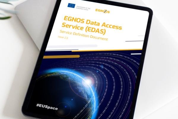
EGNOS Data Access Service (EDAS) provides access to EGNOS data through the internet and the use is limited to non-safety purposes for users within surveying, mapping, construction, agriculture and more.
EGNOS Safety of Life (SoL) This service stands out not only in terms of the accuracy provided but also by its integrity. This is essential for applications in which human life could be in danger if the performance of the navigation system was degraded beyond the required level of accuracy. The main objective of the SoL service is to support civil aviation operations down to LPV (Localiser Performance with Vertical guidance) minima. To provide the SoL Service, the EGNOS system has been designed so that the EGNOS Signal-In-Space (SIS) complies with the International Civil Aviation Organisation (ICAO) Standards and Recommended Practices for SBAS. However, the SoL Service is also intended to support applications in other domains such as maritime, railways and road.
EGNOS Safety of Life Assisted Service for Maritime Users (ESMAS): Designed to complement ground-based augmented signals, ESMAS adds another layer of protection against errors while also increasing the accuracy and ensuring the integrity of the GNSS signal. ESMAS is well-positioned to support navigation in ocean and coastal waters, including harbour approaches and entrances.
Use Cases
- Aviation: EGNOS is used in more than 500 airports across Europe and allows planes to land safely even under zero visibility. It also helps planes reduce CO2 emissions by optimising landings.
- Agriculture: More than 98% of tractors across Europe are equipped with EGNOS receivers. The accuracy provided by the system allows farmers to steer their tractor
- Maritime: EGNOS allows ships to safely navigate at sea and accurately manoeuvre at ports with increased traffic.
What does the future hold for EGNOS?
The next generation of the system, called EGNOS V3 will augment both GPS and Galileo in the L1 and L5 bands. It is also set to provide increased EGNOS service availability within and beyond the EU, supporting a growing number of users.